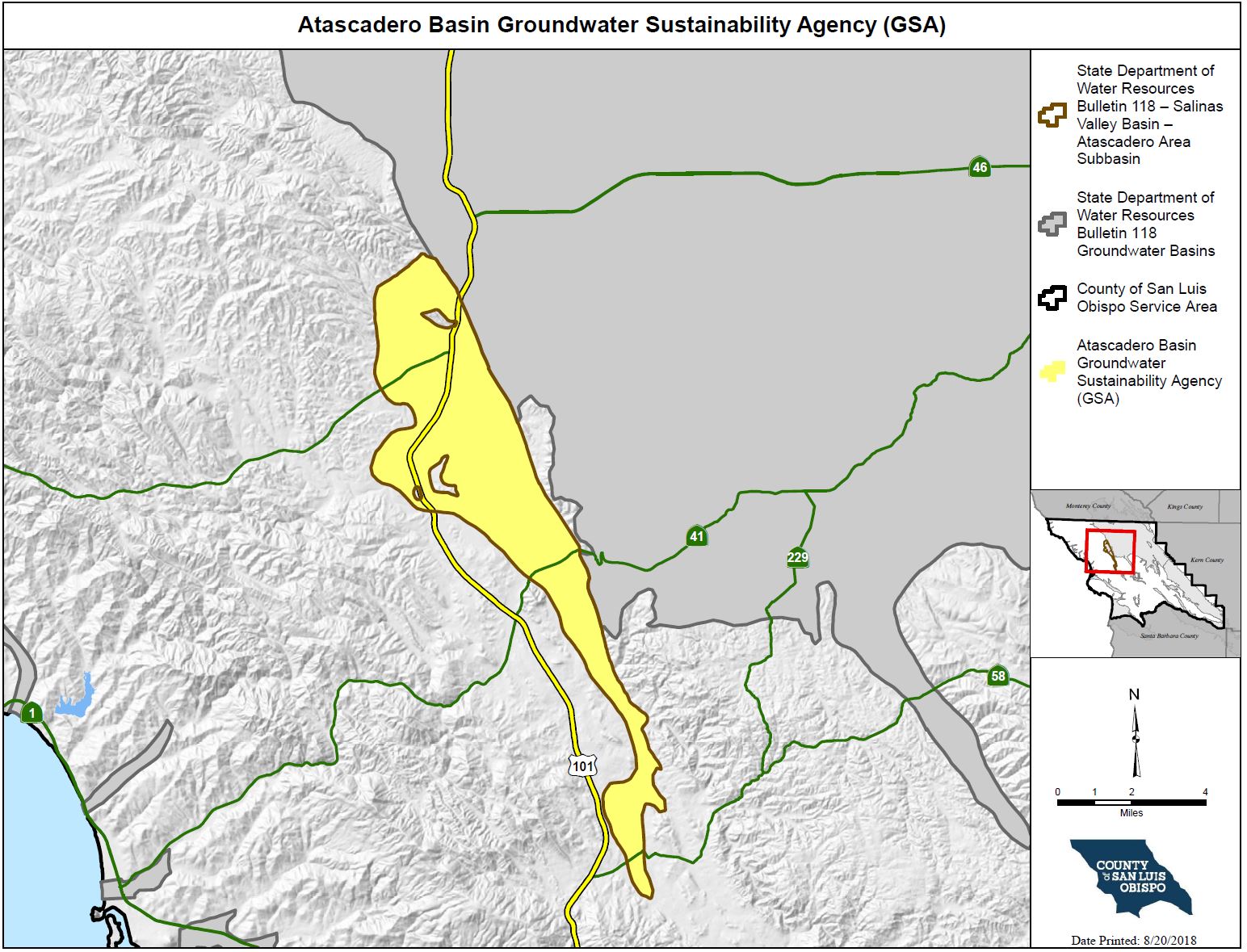
Atascadero Groundwater Basin
The "Atascadero Area Subbasin", DWR Bulletin 118 Basin No. 3-004.11, was subdivided from the "Paso Robles Area Subbasin" (of the Salinas Valley Groundwater Basin) in 2016 based on information that showed the Rinconada Fault is a significant barrier to groundwater flow. The Paso Robles Formation makes up most of the water-bearing sediments for both subbasins and the lateral (outer) extents are primarily defined by the contact with the Monterey Shale (bedrock). The boundary between the Paso Robles Subbasin and the Atascadero Subbasin is defined by the Rinconada Fault.
In 2015, the State legislature approved a new groundwater management law known as the Sustainable Groundwater Management Act (SGMA). SGMA requires that high and medium priority basins comply with the new law. DWR has designated the Atascadero Groundwater Basin as a very low priority basin.
Atascadero Groundwater Basin Website |
Meeting InformationThe Atascadero Basin GSA Executive Committee meetings are scheduled for the first Wednesday of the first month of each quarter and will include members of the Executive Committee and selected members of the consulting team as needed to support the meeting agenda. These are public meetings that are noticed on the Atascadero Basin website (http://atascaderobasin.com/) and the Atascadero Basin Groundwater Communication Portal (portal.atascaderobasin.com/). |
How do I get involved?
For more information please read the Atascadero Basin FAQ
|
Interactive Map of the Atascadero Groundwater Basin within SLO CountyClick the link above to access the SGMA Interactive Data Viewer for the Atascadero Groundwater Basin! This is an interactive mapping system to help you to navigate around the Atascadero Groundwater Basin by panning, zooming, or searching for a specific parcel or street address that you would like to locate. There are different map layers that can be shown and superimposed in this interactive mapping system such as boundaries of groundwater basins, cities, roads, SGMA eligible entities, and others by checking the layer names indicated on the left panel layer menu. To search and locate a specific APN or street address on the map:
|
Local Public Agencies in the Atascadero Basin
ATB_MOA_Final forming the Atascadero Basin Groundwater Sustainability Agency |
Sign up for the SGMA Mailing ListClick here to subscribe to the SGMA email notification list! |

