Community Meeting for the Adelaida Groundwater Study
Author: Joey Steil
Date: 2/21/2024 2:02 PM
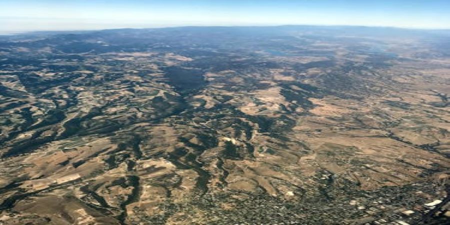
COMMUNITY MEETING FOR THE ADELAIDA AREA GROUNDWATER STUDY – The San Luis Obispo County Flood Control and Water Conservation District is coordinating with the U.S. Geological Survey (USGS) and the Upper Salinas - Las Tablas Resource Conservation District (RCD) on a hydrogeological study of the Adelaida area, west of the City of Paso Robles (see study area map).
The goal of this study is to provide a better understanding of the groundwater conditions in the Adelaida area so that informed decisions can be made concerning the management of local water resources.
|
All members of the public who are interested in groundwater conditions in the Adelaida area are encouraged to attend.
For more information on the Adelaida area groundwater study, or to sign up for updates via email, please visit slocounty.ca.gov/AdelaidaStudy.
Please see map for location.
